The following is a brief representation of maps with data by county and/or region. Just remember to credit Abexus Analytics and you can use any or all the visualizations in this section.
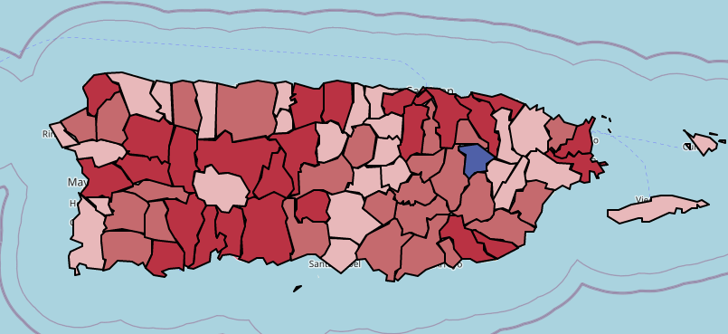
Population Change by County
This map presents Puerto Rico's Population by County
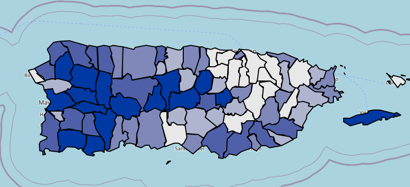
Median Household Income
This map presents Puerto Rico's Median Household Income
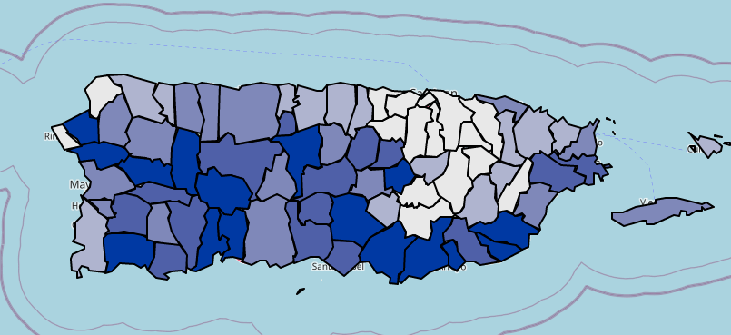
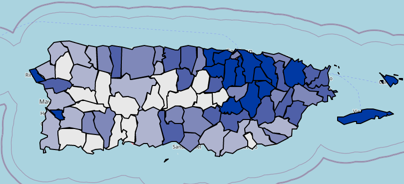
Median Housing Value
This map presents Puerto Rico's Median Housing Value
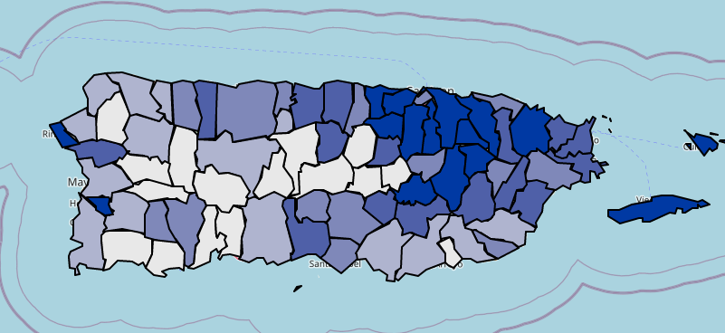
Poverty by County
This map presents Poverty Rates in Puerto Rico
Unemployment by County
This map presents Unemployment Rates in Puerto Rico
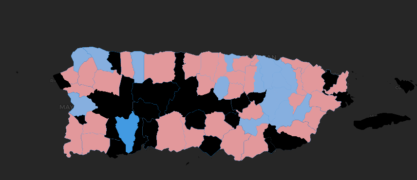
Google Mobility by Municipality
A time series map that presents google mobility at work since before the pandemic (may take a second to load)
Under Construction
We are constantly working to expand this section, check back soon for more cool maps